California Water
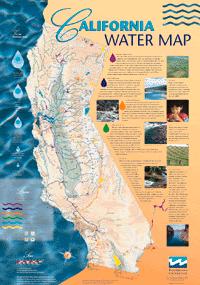
This evening after Mariners' dinner, Beverly gave a great talk about her experiences visiting California water authorities, entities and facilities; here's a map:

Map description:
Updated May 2001 - This is a map of California's surface water system. It features natural and manmade water resources throughout the state, including the wild and scenic rivers system, the new Eastside and Los Vaqueros reservoirs and the Coastal Aqueduct, linking the central coast to the State Water Project. Water facilities are color-coded to indicate federal, state or locally-funded projects and the wild and scenic river systems. Map text explains the state, federal and local water projects; Bay-Delta issues; wild and scenic rivers; the Colorado River; and groundwater issues.

No comments:
Post a Comment